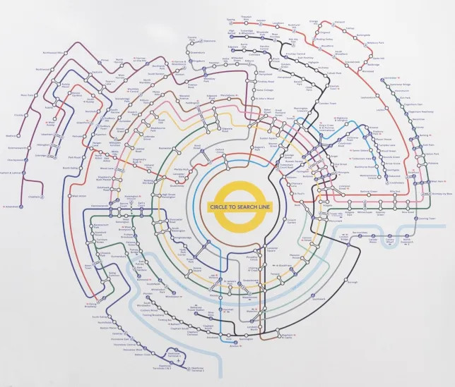
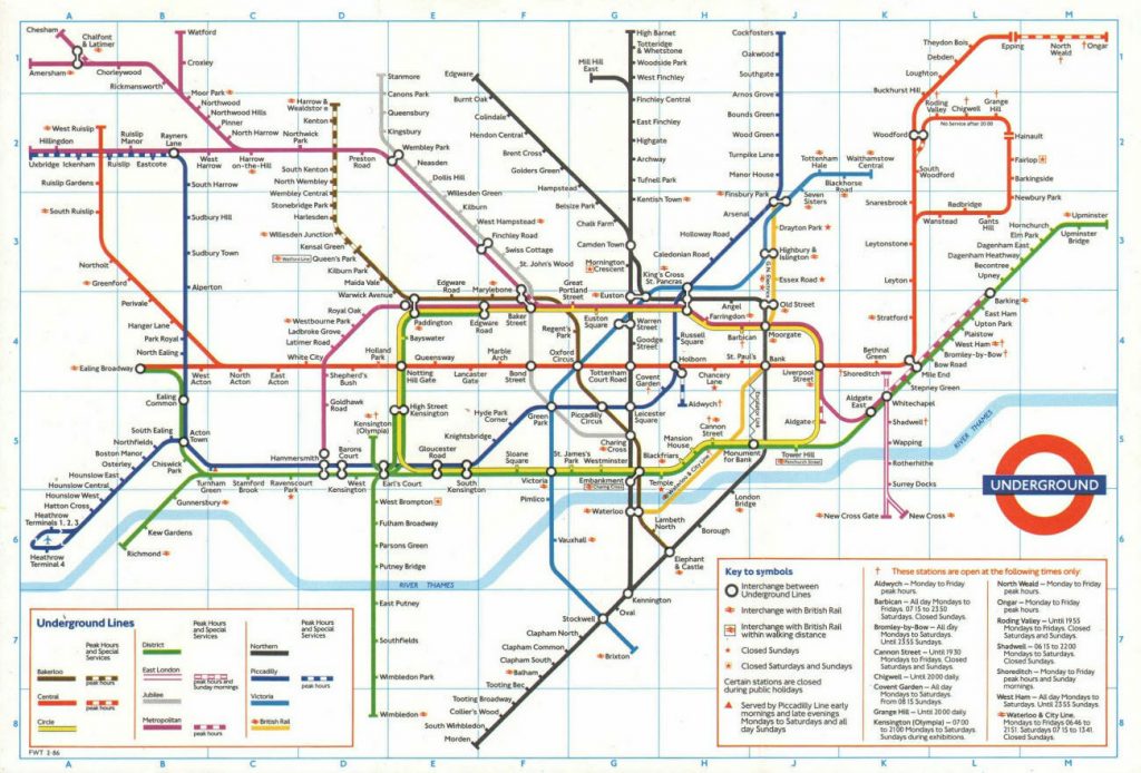
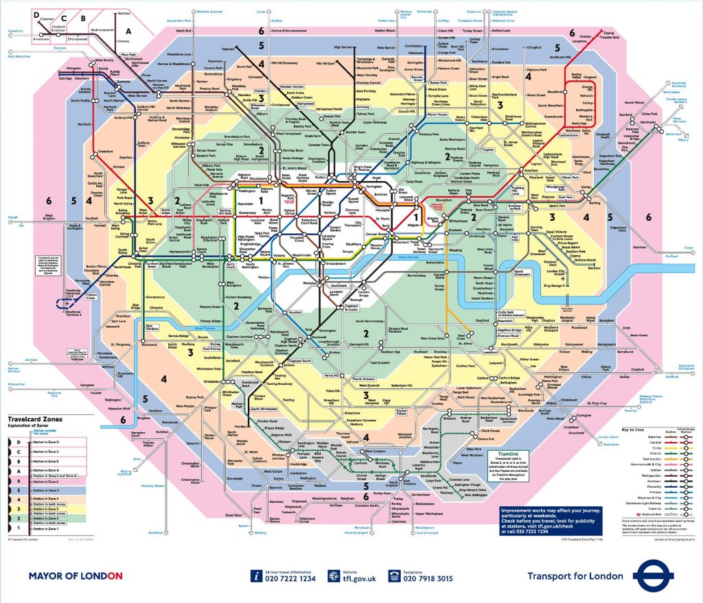
The London Underground map is a twentieth century design classic. Here is an old one:
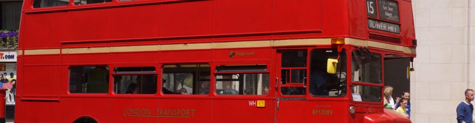
Don’t even think about visiting London without having one, either a free card version or as some kind of download. If you are in London, you will see them, or parts at least, inside tube trains, at stations and information places.
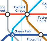
There is just one thing about this map. It isn’t a map, it’s a diagram. Let us explain.
The original idea behind Harry Beck’s design, we reckon, was that people sitting on train care nothing about whether their train goes up or down, left or right or even how far apart the stations are, they just want to know where to get on, change and get off. On central London tubes, all you can see out of the windows are walls anyway. The earliest tube trains had no windows, so you could not even see the stations.
So, the plan was simple, but inspired. Straight lines and curves, horizontal, vertical or 45o and equal distances between stations.
Because it’s a diagram, you cannot use it to navigate your way around on the streets, unlike in some cities, but it is supremely easy to understand.
Now, even though it’s not a map, it is not totally inaccurate. High Barnet really is a long way north, Heathrow is south west, Marble Arch is west of Bond Street and so on, and the blue thing passing through the middle is the Thames, so we can see what is north or south of the river.
London is divided into zones for the purpose of public transport. In truth there are fifteen (15) zones, but some have yet to be used. For your travels in the centre, you will use zones 1 and 2, possibly 3.
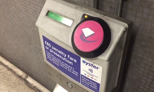
A journey on the tube is charged from the zone you start in to the zone you end at, counting any zones you pass through. This is why you must tap in and out, even if the gates are open, to pay the correct fare.
Sometimes there are pink Oyster readers at places where you can change. These simply record your route so the correct fare can be charged.
Some stations are on the exact boundary between two zones and so count as either, whichever gives you a cheaper fare. It has been known for stations to ‘move’, so check for the most up-to-date information.